
The Eisenhower - Lincoln Highway Transcontinental Cycling Route
For decades, cyclists in the United States had only three recognized transcontinental routes: the Northern Tier, the TransAmerica Bicycle Trail, and the Southern Tier.
Now, after half a century, a fourth route has been created: the Eisenhower–Lincoln Highway Transcontinental Cycling Route. Developed specifically for the "Only Lazy Americans E-bike" documentary, it traces the path of the 1919 historic convoy that a young 28-year-old Dwight D. Eisenhower joined when it set out from the White House on July 7 of that year.
That original convoy crawled across the country at six miles per hour, taking two months to reach San Francisco. More than a century later, Gregory retraced the journey by e-bike, covering the same ground from Washington, DC, to San Francisco in four months, averaging 11.9 miles per hour.
In the 1970s, the Adventure Cycling Association created the first three transcontinental cycling routes (shown in blue), long before e-bikes became part of the cycling landscape.
The new route introduced in the documentary (shown in red) is explicitly designed with e-bikes in mind, incorporating frequent accommodations and charging points. Along its path, it intersects the Northern Tier twice and crosses the TransAmerica Trail once.
Name | Start | End | Distance |
|---|---|---|---|
Northern Tier | Anacortes, WA | Bar Harbor, ME | 4293.1 mi. |
TransAmerica Bicycle Trail | Astoria, OR | Yorktown, VA | 4218.0 mi. |
Southern Tier | San Diego, CA | Augustine, FL | 2896.5 mi. |
Eisenhower - Lincoln Highway Transcontinental Cycling Route | Washington, DC | San Francisco, CA | 3,600+ mi. |
It took a year of meticulous planning to design the documentary's cycling route (in red above), using virtual reality tools and state-of-the-art routing software.
Each intersection has been reviewed using Google Maps Street View, Google Earth, RidewithGPS, satellite imagery, and cycling maps.
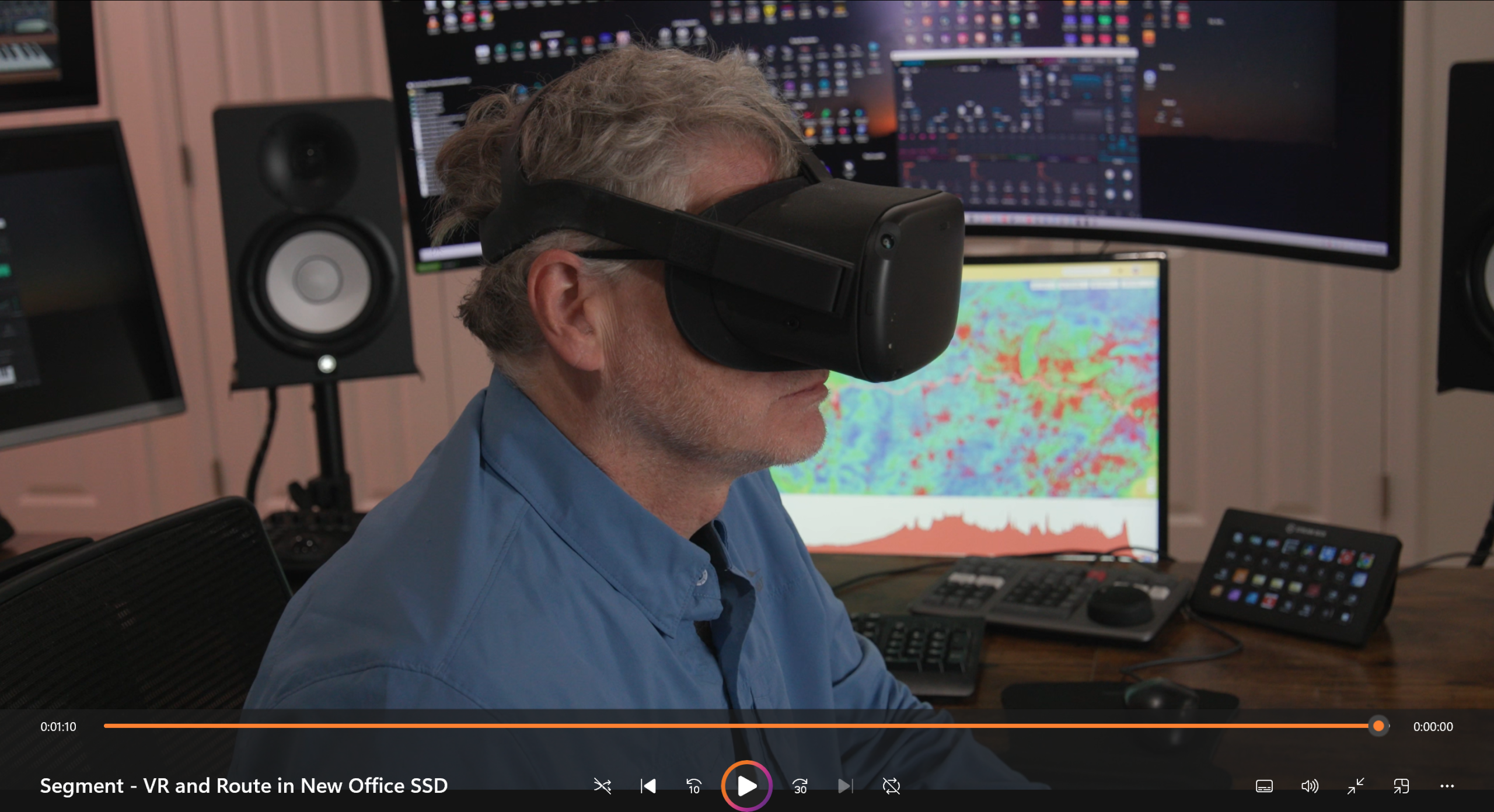
A scene from the documentary where Gregory describes how he used virtual reality as a planning tool to prepare for the cross-country e-bike tour.
The route is divided into ten segments and is approximately 3,600 miles if travelled without detouring to hotels, sightseeing sites, etc. It took Gregory 4,685.8 miles to cross America, including detours.
The route starts at the obelisk near the White House and ends at the Western Terminus of the Lincoln Highway in San Francisco.
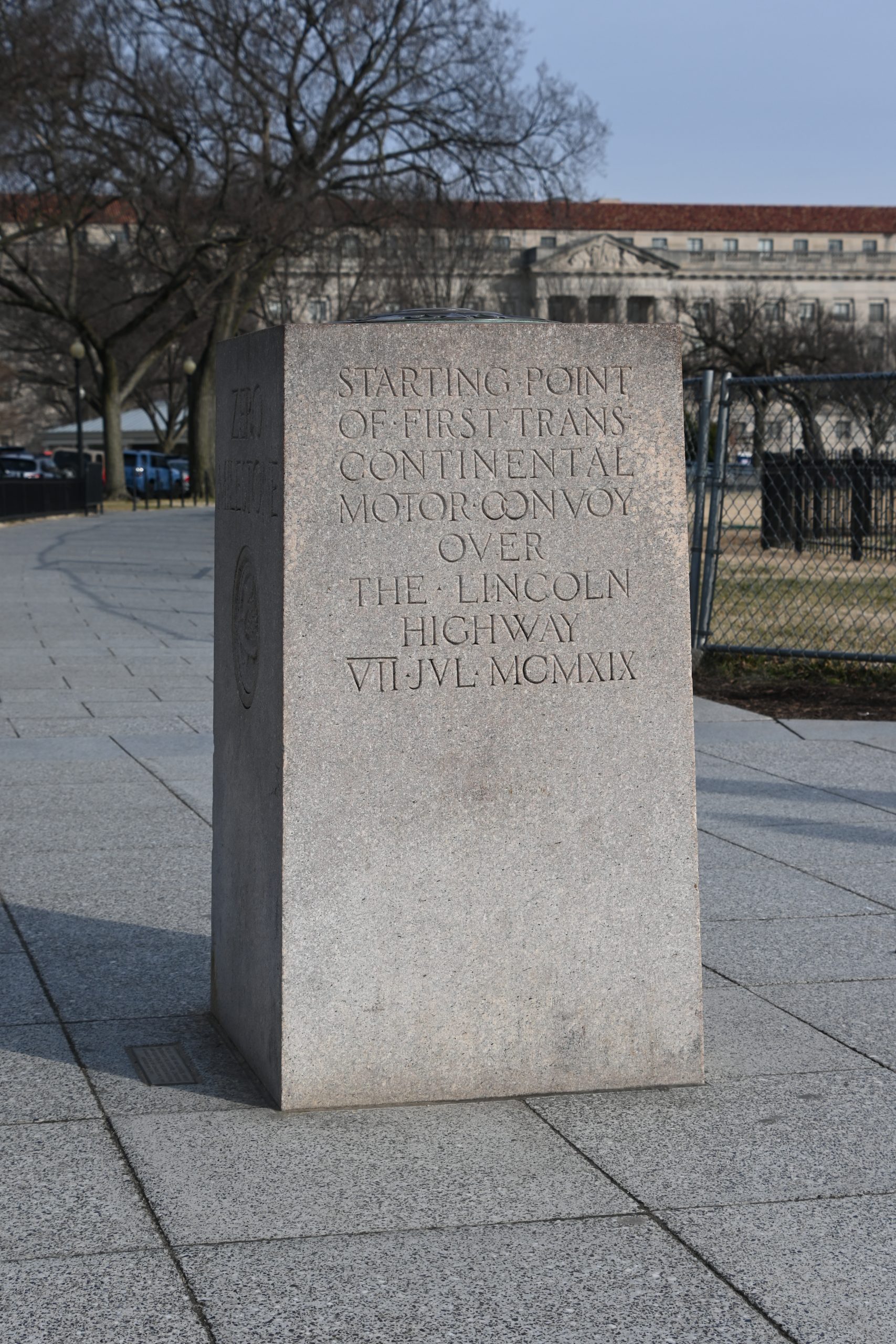
The obelisk at the White House is the starting point of the Eisenhower - Lincoln Highway Transcontinental Cycling Route Across the United States.
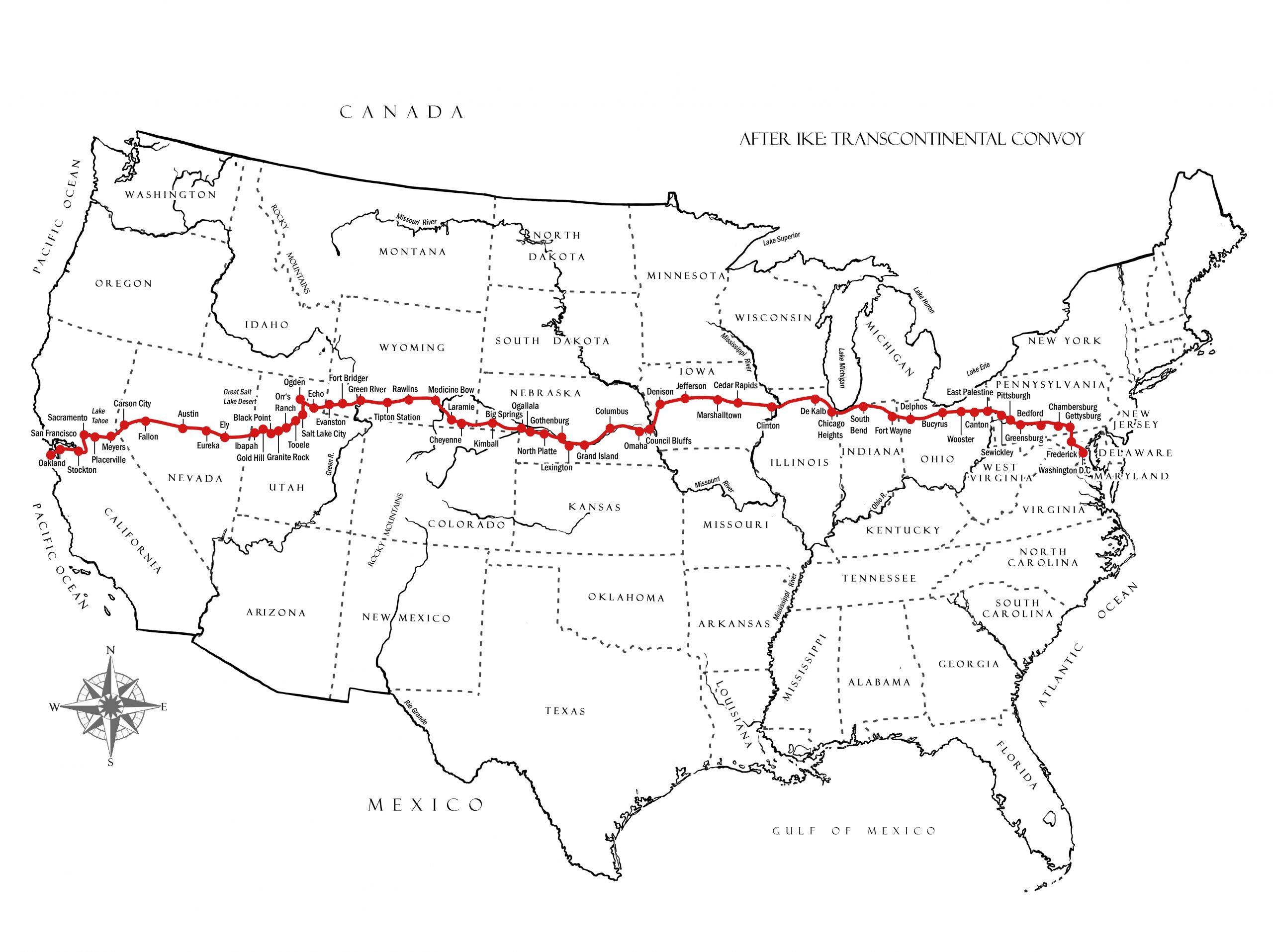
A map of the United States showing the transcontinental route followed by Ike Eisenhower in 1919 following the historic Lincoln Highway
The Eisenhower - Lincoln Highway Transcontinental Cycling Route weaves through local communities and, whenever possible, follows quiet country roads and established cycling paths.
While it may not be the quickest way to cross America, it offers one of the most compelling and historically rich journeys available—despite being a newly created route.
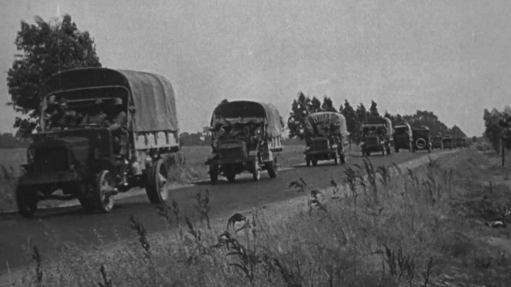
West of Placerville, California, September 3, 1919. Typical section of California's perfect roads.
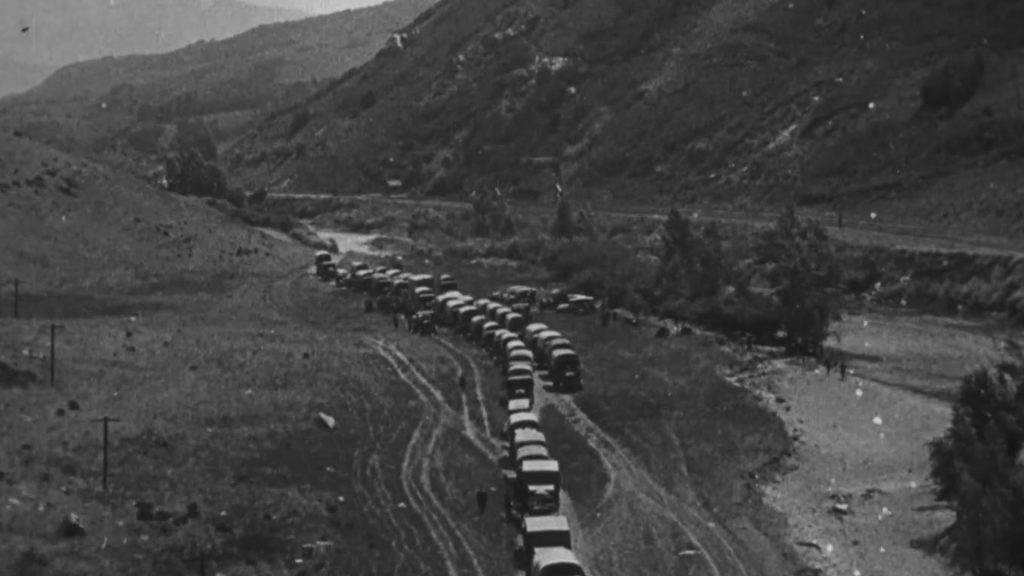
West of Morgan, Utah, August 18, 1919. Stop in the eastern end of Webber Canyon for rest and chow.
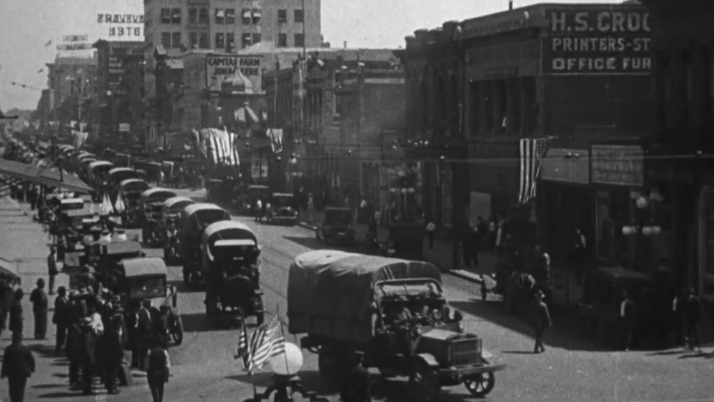
Sacramento, California, September 3, 1919. Parading streets of California's capital city.
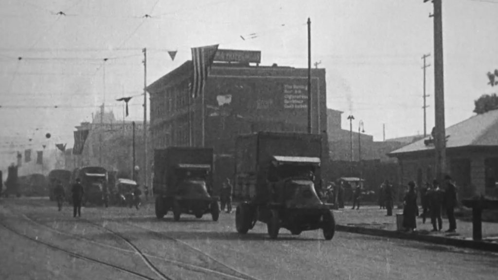
Near Livermore, California, September 5, 1919. Through the Altamont Hills.
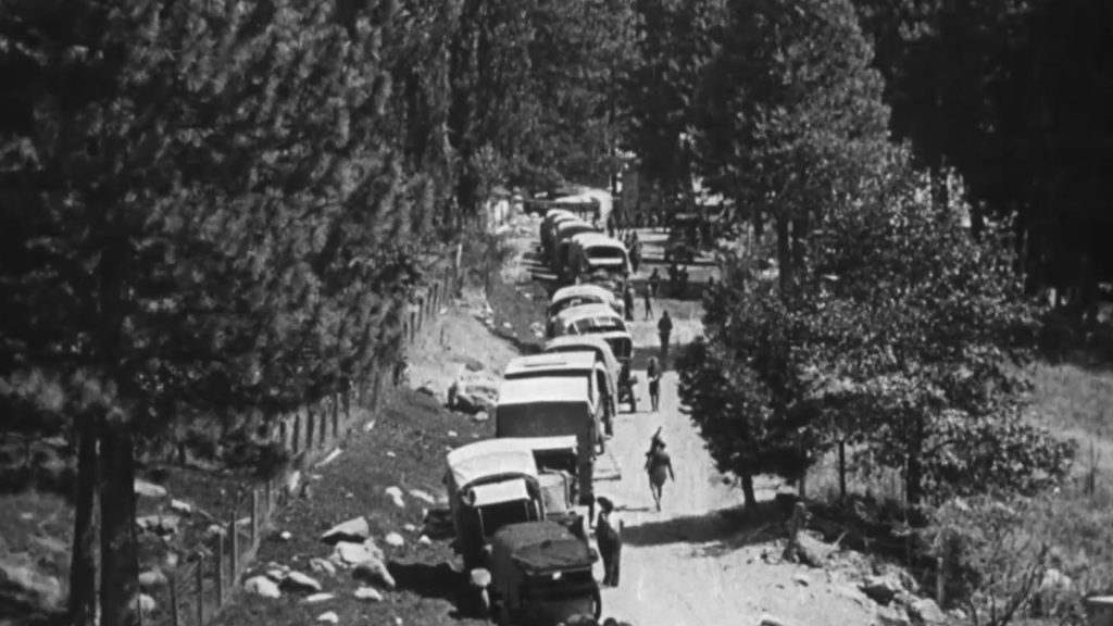
Eyburs, California, September 2, 1919. Another stop for chow.
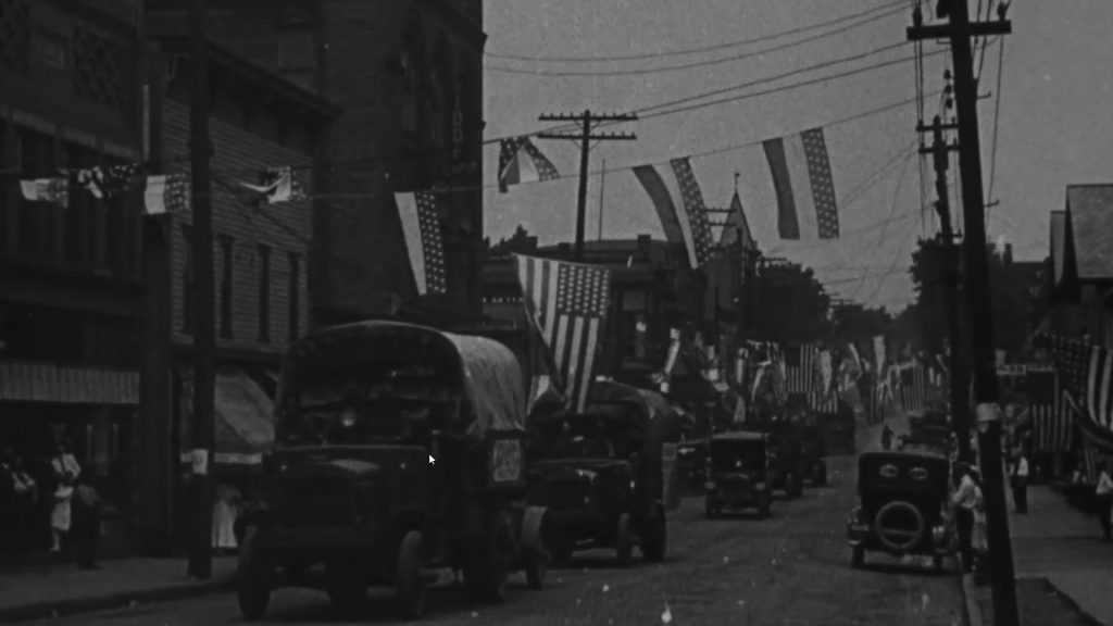
East Palestine, Ohio, July 12, 1919. City in gala attire to greet convoy.
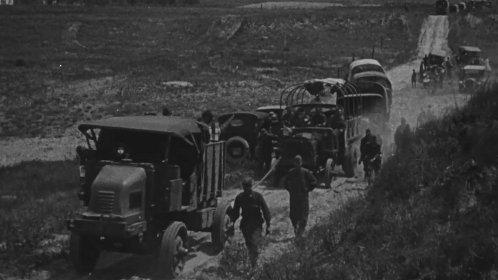
East of Big Springs River, August, 1919. Only trucks of 4 wheel drive type were able to climb the steep sandy grade unassisted. The Militor towed 4 rear driven trucks chained together
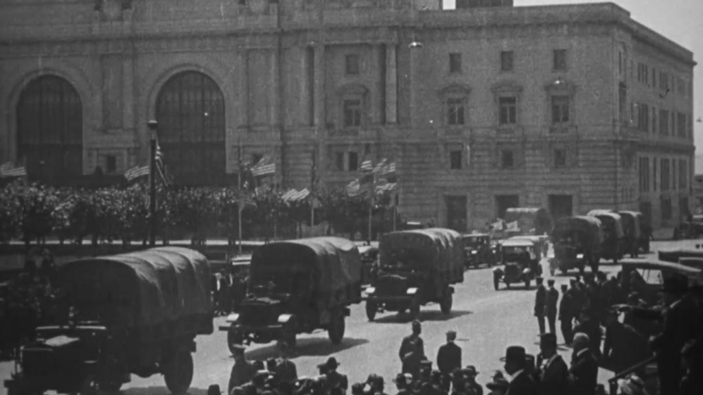
Convoy in review before Mayor James Rolph, Jr.,city officials, and officers of the Western Department of the United States Army.
Some sections once used by the historic convoy are either inaccessible today or too hazardous for cyclists. To address this, the route steers clear of major interstates like Route 80, instead prioritizing regional highways and established cycling paths that link together local communities.
Below is the final version of the route Gregory has e-biked the entire route in 2022. #coolebikeroute